A powerful storm takes aim at Southern California
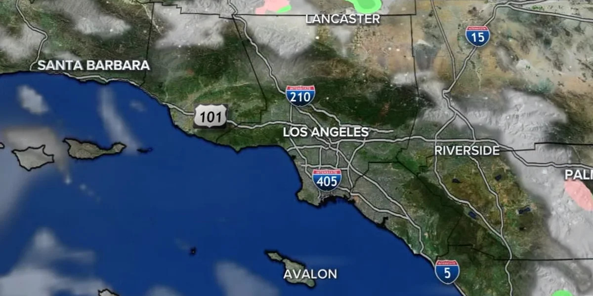
Heavy rain from an atmospheric river-fueled storm that smashed into the West Coast early Wednesday is threatening mudslides and debris flows in Southern California, and evacuations have already begun in the Los Angeles region.
Heavy rain is anticipated to fall in Southern California from Wednesday to Friday, prompting evacuation advisories, flood watches, and road closures.
"The main show is still tonight," the National Weather Service in Los Angeles said in a midday forecast update. "A fast- moving cold front will blast through the area overnight with most of the steady rain finished by 8 a.m. PDT Thursday, if not sooner."
Heavy rain will reach Southern California later this evening, increasing the risk of flooding overnight and into Thursday.
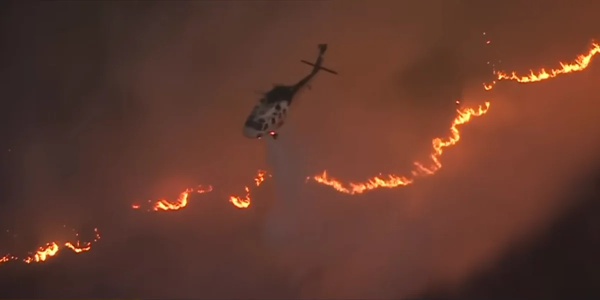
The Weather Prediction Center has issued a level 2 of 4 risk of flooding rains from Santa Barbara to Los Angeles, including areas burnt by the Palisades and Eaton fires. Although the storm's relatively swift speed may help avoid extensive flooding in California, newly burnt regions remain more vulnerable to floods and debris flows.
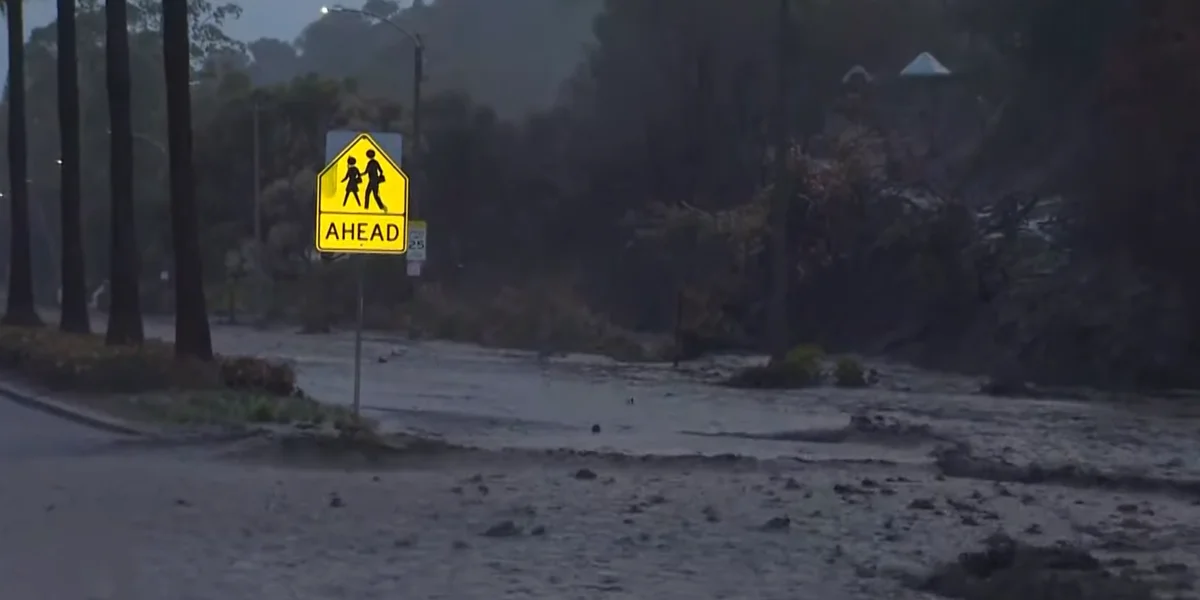
The approaching rain could fall at an inch per hour, increasing the risk of flooding, mudslides, and debris flows, particularly in places scorched by wildfires that destroyed entire communities earlier this year.
The Los Angeles Fire Department issued evacuation orders and advisories for people in the regions affected by the Palisades, Sunset, and Hurst fires. Over two dozen Malibu communities were also issued evacuation notices.
"Residents should prepare to evacuate now due to the significant risk of flash flooding, debris flows and mudslides," the city's office of public safety said in a statement on social media. "These hazards pose a serious threat to life and property."
In addition to the evacuation orders, officials closed several key routes, including a part of the Pacific Coast Highway in Malibu, Las Flores Canyon Road, and Malibu Canyon Road.
The National Weather Service predicts that 1 to 3 feet of snow will accumulate throughout the Sierra Nevada this week, increasing the risk of avalanches and making travel at high elevations risky.
"Heavy snow and powerful wind gusts of 40-70 mph below many major passes will create dangerous to potentially impossible travel conditions across the Sierra Nevada and northern California higher terrain this afternoon into Thursday," the National Weather Service said.